
Drones are revolutionizing how scientists monitor ecosystems over time, offering unprecedented aerial perspectives that reveal environmental changes with remarkable clarity and precision.
🚁 The Dawn of Aerial Ecological Intelligence
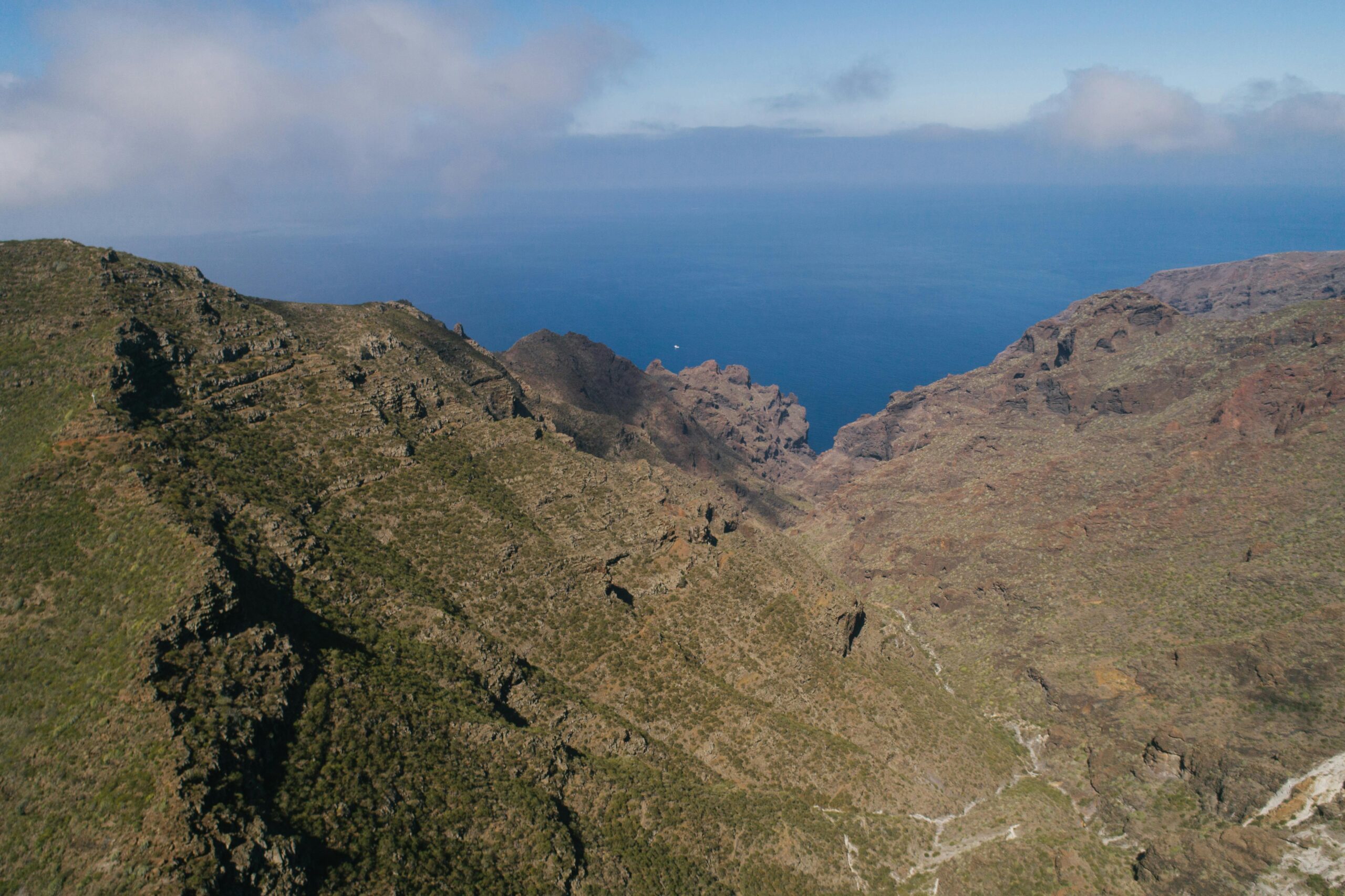
The integration of unmanned aerial vehicles (UAVs) into ecosystem monitoring represents one of the most significant technological advances in environmental science. Time-series drone observation has emerged as a powerful methodology that combines the flexibility of aerial photography with the analytical depth of longitudinal studies. This approach enables researchers to capture sequential images of the same location over extended periods, creating a visual timeline that documents ecological transformations.
Traditional ground-based surveys, while valuable, often lack the spatial coverage and temporal consistency needed to understand complex ecosystem dynamics. Satellite imagery, though comprehensive, frequently suffers from limitations in spatial resolution and temporal flexibility. Drones bridge this gap perfectly, offering high-resolution imagery on demand while maintaining cost-effectiveness and operational flexibility.
The capacity to revisit the same coordinates repeatedly with consistent altitude, angle, and sensor specifications creates datasets of exceptional quality. This standardization is crucial for detecting subtle changes in vegetation health, wildlife populations, water bodies, and land use patterns that might otherwise go unnoticed.
Understanding Time-Series Analysis in Drone Ecology
Time-series drone observation involves collecting aerial data from identical locations at regular intervals—whether daily, weekly, monthly, or seasonally. This systematic approach generates sequences of images that can be analyzed to identify patterns, trends, and anomalies in ecosystem behavior.
The methodology relies on several key principles. First, spatial consistency ensures that each observation captures the same geographic area from comparable perspectives. Second, temporal regularity provides the statistical power needed to distinguish genuine ecological trends from random variation. Third, sensor standardization maintains data comparability across the observation period.
Modern drones equipped with multispectral cameras can capture information beyond the visible spectrum, including near-infrared and thermal wavelengths. These additional data layers reveal plant stress, soil moisture, and temperature variations invisible to the human eye, dramatically expanding the information available to researchers.
Core Technologies Enabling Advanced Observations
The technical foundation of time-series drone observation rests on several integrated technologies. GPS positioning systems with centimeter-level accuracy enable precise return to predetermined waypoints. Gimbal stabilization systems ensure consistent camera orientation despite wind and flight dynamics. Advanced flight controllers execute pre-programmed missions with remarkable repeatability.
Image processing algorithms have become increasingly sophisticated, incorporating artificial intelligence and machine learning to automate feature detection, classification, and change analysis. These computational tools can process thousands of images, identifying patterns that would be impossible for human observers to detect manually.
Cloud storage and computing platforms now facilitate collaborative research, allowing teams across the globe to access, analyze, and contribute to shared datasets. This democratization of data accelerates scientific discovery and promotes interdisciplinary collaboration.
🌿 Vegetation Dynamics and Forest Health Monitoring
Perhaps nowhere is the value of time-series drone observation more evident than in monitoring vegetation changes. Forests, grasslands, and agricultural landscapes undergo continuous transformation influenced by seasons, climate, management practices, and disturbances.
Phenological studies—tracking the timing of biological events like leaf emergence, flowering, and senescence—benefit enormously from regular drone surveillance. By capturing images throughout the growing season, researchers can construct detailed phenological curves that reveal how different species respond to temperature, precipitation, and daylight variations.
Forest health assessments have been transformed by drone technology. Early detection of disease outbreaks, insect infestations, and drought stress becomes possible through analysis of vegetation indices derived from multispectral imagery. The Normalized Difference Vegetation Index (NDVI) and Enhanced Vegetation Index (EVI) provide quantitative measures of plant vigor that can signal problems weeks before symptoms become visible to ground observers.
Precision Agriculture Applications
Agricultural ecosystems represent particularly fertile ground for time-series drone applications. Farmers and agronomists use sequential aerial imagery to monitor crop development, identify irrigation problems, detect pest damage, and optimize fertilizer application.
Variable rate technology, which adjusts input application based on spatial variability within fields, relies heavily on drone-derived data. By documenting how different zones within a field respond to management interventions, time-series observation enables adaptive management strategies that improve yields while reducing environmental impacts.
Yield prediction models have achieved impressive accuracy by incorporating temporal sequences of vegetation indices, canopy temperature measurements, and structural metrics derived from photogrammetric point clouds. These predictions help farmers make informed decisions about harvest timing, storage requirements, and marketing strategies.
Wildlife Habitat Assessment and Population Monitoring
Drone technology has opened new frontiers in wildlife research by enabling non-invasive observation of animal populations and their habitats. Time-series approaches are particularly valuable for understanding habitat use patterns, migration timing, and population dynamics.
Colonial nesting birds, marine mammals, and large herbivores can be counted from aerial imagery with accuracy often exceeding traditional survey methods. Repeated surveys throughout breeding seasons document nesting success, track juvenile development, and identify factors influencing reproductive outcomes.
Habitat quality assessment benefits from temporal observation by revealing seasonal variations in food availability, water access, and cover conditions. Understanding these dynamics is essential for effective conservation planning, particularly as climate change alters the timing and availability of critical resources.
Thermal Imaging for Nocturnal and Cryptic Species
Thermal cameras mounted on drones have revolutionized surveys of nocturnal and cryptic wildlife. Animals that are difficult to detect visually often appear clearly in thermal imagery, allowing researchers to conduct surveys during darkness or in dense vegetation.
Time-series thermal observation documents activity patterns, revealing when and where animals are most active. This information guides management decisions about when to implement conservation interventions or restrict human activities to minimize disturbance.
💧 Aquatic Ecosystem Monitoring and Wetland Dynamics
Water bodies and wetlands exhibit dynamic behaviors that vary substantially across temporal scales. Daily fluctuations in water level, seasonal expansions and contractions, and long-term trends related to climate and land use all influence ecosystem function.
Drone-based bathymetric surveys use photogrammetry and spectral analysis to map shallow water depths with remarkable precision. Repeated surveys track sedimentation rates, channel migration, and changes in aquatic vegetation distribution—all critical variables for understanding wetland health.
Water quality parameters including turbidity, chlorophyll concentration, and suspended sediment can be estimated from multispectral imagery. Time-series observations reveal pollution events, algal bloom dynamics, and the effectiveness of watershed management practices.
Coastal and Riparian Zone Assessment
Coastal ecosystems face particular pressures from sea-level rise, storm events, and human development. Time-series drone observation documents shoreline erosion, dune migration, and vegetation succession in these dynamic environments.
Riparian corridors along streams and rivers provide critical ecosystem services including flood mitigation, water filtration, and wildlife habitat. Regular drone surveys track vegetation establishment following restoration projects, identify invasive species encroachment, and assess flood damage after high-water events.
🔬 Data Processing and Analysis Workflows
The value of time-series drone observation ultimately depends on effective data processing and analysis. Raw imagery must be transformed into georeferenced orthomosaics, digital elevation models, and spectral indices before meaningful ecological insights emerge.
Structure-from-motion photogrammetry algorithms reconstruct three-dimensional representations of landscapes from overlapping images. These models enable volume calculations, height measurements, and terrain analysis that complement spectral information.
Change detection methods range from simple image differencing to sophisticated machine learning classifiers. Object-based image analysis segments scenes into meaningful units—individual trees, water bodies, or land cover patches—that can be tracked across time series.
Statistical Approaches for Temporal Analysis
Time-series analysis requires appropriate statistical methods to distinguish signal from noise. Trend analysis identifies directional changes, while seasonal decomposition separates cyclical patterns from underlying trends. Anomaly detection algorithms flag unusual observations that may indicate disturbances or data quality issues.
Forecasting models trained on historical time-series data can predict future ecosystem states under various scenarios. These predictions support proactive management by identifying potential problems before they become critical.
Overcoming Challenges and Technical Limitations ⚡
Despite its tremendous potential, time-series drone observation faces several practical challenges. Weather conditions constrain flight operations, potentially creating gaps in temporal sequences. Wind, precipitation, and cloud cover all affect data quality and collection feasibility.
Battery limitations restrict flight duration, limiting the spatial extent of individual missions. While swappable batteries and automated recharging systems help, large study areas may require multiple flights, introducing logistical complexity.
Data management becomes increasingly challenging as time-series datasets grow. Storage requirements, processing demands, and data organization all require careful planning and adequate infrastructure.
Regulatory and Ethical Considerations
Drone operations are subject to aviation regulations that vary by country and region. Obtaining necessary permits, maintaining pilot certification, and complying with airspace restrictions add administrative overhead to research projects.
Privacy concerns arise when drones operate near populated areas or capture imagery that may reveal sensitive information. Researchers must balance scientific objectives with respect for privacy and property rights.
🌍 Climate Change Research Applications
Time-series drone observation provides powerful tools for documenting climate change impacts at local and regional scales. Glacier retreat, permafrost thaw, and vegetation range shifts all become visible through systematic aerial monitoring.
Phenological shifts—earlier spring green-up, delayed autumn senescence—are precisely quantified through seasonal image sequences. These observations validate climate models and improve predictions of ecosystem responses to future warming.
Carbon cycle research benefits from drone-derived estimates of biomass accumulation and loss. Repeated surveys of forests, grasslands, and wetlands track carbon storage changes, supporting greenhouse gas inventories and climate mitigation strategies.
The Future Horizon of Ecosystem Monitoring
Emerging technologies promise to further expand the capabilities of time-series drone observation. Improved sensors with higher spectral and spatial resolution will detect increasingly subtle ecosystem changes. Longer flight times through better batteries and hybrid power systems will enable coverage of larger areas.
Artificial intelligence advances will automate more aspects of data collection, processing, and interpretation. Autonomous drones may soon conduct surveys with minimal human oversight, dramatically reducing costs and enabling more frequent observations.
Integration with other monitoring platforms—satellite imagery, ground sensors, camera traps—will create comprehensive observation networks that capture ecosystem dynamics across multiple scales. This synthesis will deepen understanding of complex ecological processes and improve management outcomes.
🎯 Implementing Effective Monitoring Programs
Successful time-series drone observation programs require careful planning and execution. Clear research questions or management objectives should guide decisions about observation frequency, spatial coverage, and sensor selection.
Pilot projects help identify logistical challenges and refine protocols before committing to long-term monitoring. Testing different flight altitudes, overlap percentages, and lighting conditions ensures optimal data quality.
Collaboration between ecologists, remote sensing specialists, and data scientists produces the most robust results. Interdisciplinary teams bring complementary expertise that strengthens every aspect of the monitoring program from design through interpretation.
Documentation and data management protocols established at the outset prevent problems later. Standardized file naming, metadata collection, and quality control procedures ensure that datasets remain usable and understandable years into the future.
Transforming Conservation and Management Outcomes 🌱
The ultimate measure of any monitoring technology is its contribution to improved ecosystem management. Time-series drone observation excels by providing timely, detailed information that supports adaptive management approaches.
Restoration projects benefit from objective documentation of outcomes, allowing practitioners to identify successful techniques and avoid ineffective interventions. Early detection of problems enables corrective actions before minor issues become major failures.
Protected area management gains efficiency through comprehensive surveillance that identifies threats, monitors compliance with regulations, and tracks habitat conditions. Limited field staff can be deployed strategically based on priorities identified through aerial observation.
Community engagement improves when visual evidence makes ecosystem changes tangible and accessible. Time-lapse sequences compiled from drone imagery communicate complex processes in ways that resonate with diverse audiences, building support for conservation initiatives.
The convergence of drone technology, advanced sensors, and sophisticated analysis methods has created unprecedented opportunities for understanding and protecting ecosystems. Time-series observation transforms static snapshots into dynamic narratives that reveal the living, changing nature of our planet’s biological communities. As this technology continues to evolve and become more accessible, its applications will expand further, ensuring that the sky truly is the limit for ecological insights.


